Navionics is a world leader in digital nautical charts and navigation software. It offers precise tools for boaters, fishermen, and marine professionals.
Navionics maps contain detailed data on seabed, obstacles, buoys, and currents. Regular updates ensure reliable and up-to-date information.
The software is compatible with chartplotters and mobile devices. This allows you to plan routes, check positions, and monitor weather conditions in real time.
Navionics also offers advanced features such as SonarChart Live, to create customized maps of the seabed while sailing. This tool improves safety and awareness of the marine environment.
The product interface is simple and intuitive. Even those with no experience at sea can use them easily.
The brand focuses on data quality and constant innovation. Detailed maps, automatic updates, and compatibility with multiple platforms make the brand a key ally for those who want to navigate safely.
Choosing Navionics means having reliable information and practical tools to experience the sea without surprises.
-
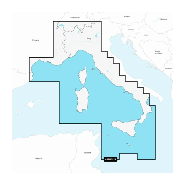
Marine Charts Navionics + Mediterranean Sea
Original price was: € 159,99.€ 135,99Current price is: € 135,99.Navionics+ Marine Charts for the central and western Mediterranean Sea. Plan safe and accurate routes, with up-to-date port, coastline, and depth information.